Investigación
The purpose of the DAMAGE project is to know the factors and processes that determine the geological risk associated with the sismicity of the area of active deformation that affects the central Betic Cordillera and that extends through the Alboran Sea towards the Rif Cordillera. The project focuses on establishing two of the main effects of current tectonic activity: tsunamis in the Alboran Sea and the destabilization of reservoirs. In addition, the project aims to relate the tectonic deformations of the terrain with seismicity as a tool for the future monitoring of geological risk and warnings of impending seismic crises.
There are three specific objectives that allow the determination of the factors that determine the geological risk associated with the simicity of the zone of active deformation that affects the research area.
- Determine and characterize geologically active or recent tectonic structures capable of producing earthquakes and landslides.
- Analyze and quantify the activity of active tectonic structures.
- Establish the factors that determine the geological risks associated with seismicity and their effects essentially on water bodies.
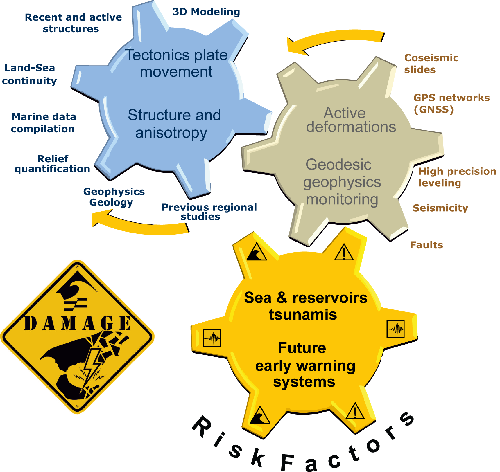
To reach these objectives it is necessary to know in detail the cortical structure, its deformation and the characteristics of the seismicity associated by geological observations (tectonic and stratigraphic) and geophysical data that pertain to the Betic-Rif Cordillera and the Alborán Sea. In this way, it is intended to compile and integrate the previous data existing in the region, as well as carry out detailed studies of the new structures.
Discover our project
If you want to know our research you can contact us and we will be happy to answer your concerns